
Bring terrain, exposed assets and separately investigated utility observations into one model. LiDAR measures surfaces; it does not see buried pipes or cables through the ground.
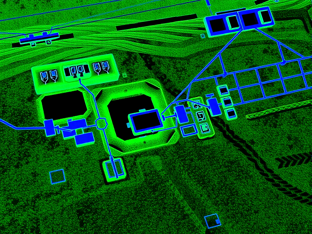
Our LiDAR technology revolutionizes underground utility mapping by providing unprecedented accuracy and efficiency in infrastructure surveys.

LiDAR measures surface and exposed features. Separate utility investigation establishes evidence about buried services; the surface model does not verify them.

The ability to rapidly collect data over extensive areas streamlines workflows, saving time and resources compared to conventional methods.

Combine a surface model with attributed utility observations to show spatial relationships while preserving each observation's source and limitations.

A combined model can support planning. It does not authorise excavation or replace owner instructions and the site's required controls.
Our implementation of LiDAR technology follows a systematic approach to ensure maximum accuracy and reliability in all our underground mapping projects.
Our new LiDAR drones capture high-resolution data from project sites, providing detailed three-dimensional maps.
Raw data is cleaned and prepared for analysis to ensure maximum accuracy in the final deliverables.
Data is aligned with existing utility records using Geographic Information Systems (GIS) for comprehensive visualization.
Compare observations with available records, report conflicts and retain unresolved areas before issuing the map.
Discover how LiDAR technology is transforming utility infrastructure surveys in our detailed article on precision underground mapping with LiDAR technology. For general utility work services, explore our underground utility work page.
LiDAR is a surface technology, and that matters when you scope a mapping job. It measures light reflected from terrain, pavements, buildings and exposed infrastructure. The accuracy depends on the survey specification, control and equipment. It cannot see through soil, concrete, or asphalt.
In a combined workflow, suitable locating methods and survey observations provide subsurface evidence. LiDAR can add the surface context. Keep detected, exposed and inferred positions distinguishable, and record unresolved services and coverage limits.
| Question | LiDAR | GPR / EMI |
|---|---|---|
| What it measures | Surface, terrain, exposed assets | Buried services and their alignment |
| Depth information | None below the surface | Inferred at QL-B, verified at QL-A |
| Best at | Large corridors, as-builts, terrain context | Clash points, congested corridors, non-metallic assets |
| Output | Point clouds and 3D surface models | Attributed AS5488 quality-level maps |
The two methods are complementary, not competing. For a full answer on what LiDAR can see below ground, read can LiDAR see underground.
LiDAR adds the most value on projects where surface and subsurface data need to live in the same model.
Fly the corridor once, capture terrain and exposed features, and scope the detecting work against a consistent surface model.
Overlay detected utility positions on the LiDAR surface model so piles, footings, and HDD paths are checked in true three dimensions.
Scan open trenches and newly installed services before backfill, leaving an accurate record of what actually went in the ground.
Build and refresh utility asset registers for councils, utilities, and facility managers with a repeatable capture method.
No. LiDAR measures surfaces, not buried assets. Suitable subsurface investigation and survey methods provide separate utility observations, which can be combined with the surface model while retaining their evidence and limitations.
LiDAR underground mapping supports pre-tender surveys, design clash detection, as-built capture, and asset registers on large corridors. It is most valuable where terrain and surface features must be tied to detected utility positions in a single 3D model.
They answer different questions. LiDAR measures the surface and exposed assets. GPR and electromagnetic locating can provide subsurface evidence where conditions suit. Select methods for the site and project decision; LiDAR is not required for every utility investigation.
Accuracy depends on the equipment, control, access and processing. Agree the required surface accuracy and utility information quality separately. A precise surface model does not improve the certainty of an unresolved buried service.
Expert utility locating services with BYDA certified precision.
Serving projects across Australia with advanced subsurface mapping solutions.