
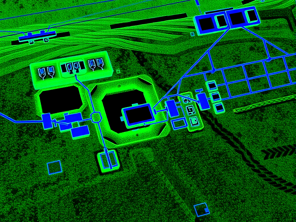
 Field investigation and mapping
 Professional utility mapping services providing accurate documentation of underground infrastructure. CAD and GIS compatible deliverables for planning and construction. AS5488 compliant deliverables.
 BYDA aware AS5488 mapping
  Methods matched to site
 Define the work area, methods and deliverable first. HR Utilities records the field evidence and limitations so the next project decision has a clear basis.
BYDA responses identify affected asset owners and available records. Site assessment and locating investigate the defined work area.
Our locators choose GPR, EMI, GPS, and total station survey based on service type, access, and ground conditions.
The handover should state what was found, how it was found, the investigated boundary, limitations and recommended next steps.
Start with the site problem, then choose the right scope for locating, proving, mapping, or deliverables.
Accurate subsurface infrastructure documentation
CAD and GIS compatible deliverables
Support for planning and design phases
Compliance with Australian Standard AS5488
Survey-ready data to MGA/AHD datums
Seamless integration with HR Surveyors
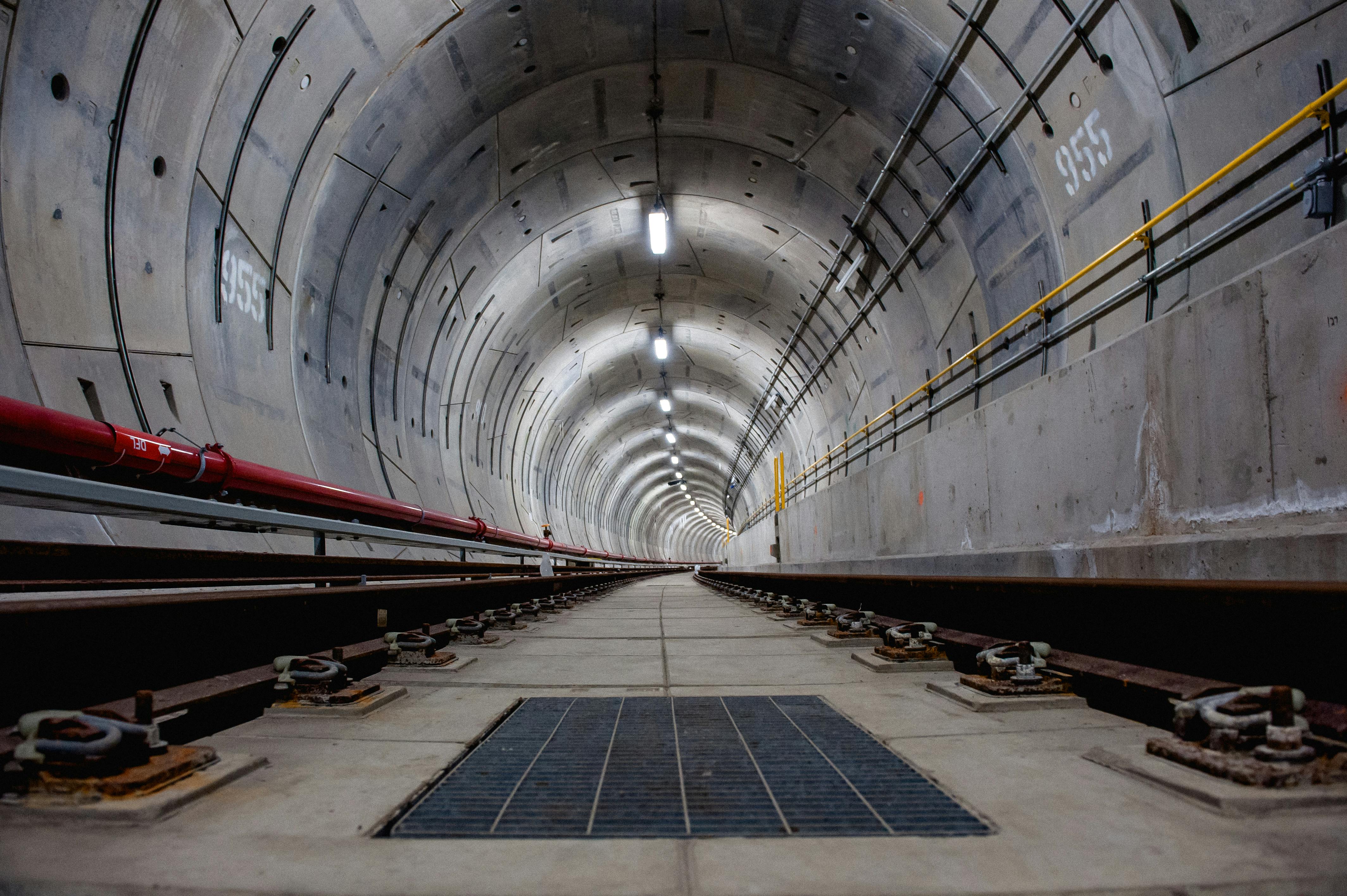
A defined sequence from current records to field evidence, with the investigation limits carried into the handover.
Ground Penetrating Radar, Electromagnetic Induction, and GPS surveying, with equipment selected for each project type.

HR Utilities supports construction, civil infrastructure, mining, renewable energy, and subdivision projects.

Offices in Huntingdale (Melbourne), Geelong, and West Leederville (Perth), with project coverage across Victoria and Western Australia.
HR Utilities provides comprehensive utility locating and mapping solutions across Victoria, with specialized teams available statewide. BYDA certified with deep knowledge of Victorian regulations.
Learn More HR Utilities delivers expert utility locating and mapping services throughout Melbourne and surrounding suburbs. Our local team understands Melbourne's complex urban infrastructure and council requirements. See our Melbourne underground utility locating page for local scope and enquiry inputs.
Learn More Expert utility locating and mapping services throughout Brisbane and South East Queensland. Our NULCA certified team delivers AS5488-compliant underground utility detection for civil, construction, and infrastructure projects.
Learn More Professional utility locating services in Perth and across Western Australia. HR Utilities provides certified underground utility detection for mining, civil, and construction projects throughout WA.
Learn More GPR utility locating in Adelaide using Ground Penetrating Radar and electromagnetic induction for urban construction sites. NULCA certified team providing AS5488-compliant detection for projects across Adelaide and South Australia.
Learn More Expert utility locating and mapping services throughout Sydney and New South Wales. Our NULCA certified team delivers precision underground utility detection for construction, civil, and infrastructure projects across NSW.
Learn MoreDiscuss utility mapping services for your project in Victoria or Western Australia.
Project planning Documented outputs Methods matched to site Victoria Wide