
HR Utilities maps underground infrastructure with GPR, EMI, survey control, AS5488 quality notes, and CAD/GIS deliverables. Your team gets usable data for design, construction, and asset records.
HR Utilities combines locating technicians and utility surveyors so one team can detect, survey, and document underground services.
Use subsurface mapping when paint marks are not enough. CAD, GIS, PDF, and 3D outputs help engineers check clashes, councils review records, and supervisors brief crews.
"Precision Below. Accuracy Above."
Review GPR services, utility data deliverables, and utility mapping services.
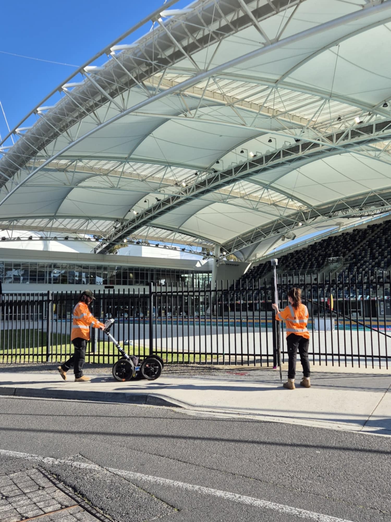
Match the deliverable to the decision: field markings for site crews, CAD for designers, GIS for asset teams, and 3D data for coordination.

Use electromagnetic induction, GPR, and site evidence to detect buried utilities across complex work zones.

Turn detected utility data into plans, 3D strings, and models that design teams can use.

Deliver spatial data for asset teams, councils, consultants, and project records.

Match the output to the people using it, from site supervisors to civil designers and GIS teams.
Expert utility locating services with BYDA certified precision.
Serving projects across Australia with advanced subsurface mapping solutions.