
Underground Utility Mapping Services in Geelong and Greater Melbourne
Published on 12/28/2024 by HR Utilities
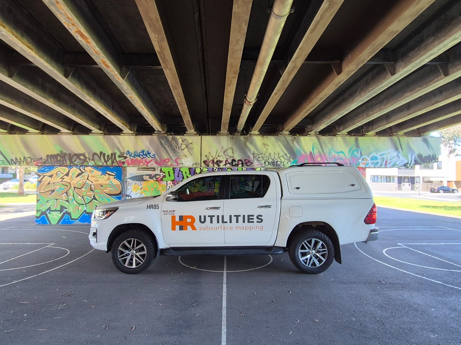
A useful utility map starts with a defined work area and a clear question. A designer assessing a proposed connection may need different evidence from a contractor preparing an excavation. Give the investigator the current drawings, the proposed activity and the decisions the receiving team needs to make.
HR Utilities provides utility locating services for projects in Geelong and Greater Melbourne. Agree the investigation scope and outputs before field work so that the resulting information can be used with its limitations understood.
Start with records and site information
Obtain current BYDA responses and read each asset owner’s instructions. Ask the site owner for private-service records, previous investigations and changes that may not appear in the response pack.
BYDA’s duty-of-care guidance explains that plans indicate infrastructure presence, rather than its exact location. They do not establish a safe excavation position or show every private service. Changes to the work scope or expired plan validity may require a new enquiry.
Compare the records with visible features such as pits, meters, valves and building connections. Record a missing response, conflicting route or expected service that has not been resolved. Those questions help define the field investigation.
Choose methods for the site
Electromagnetic locating traces signals on conductive services or suitable tracer wires. GPR can provide evidence of buried features where target size, depth and ground conditions produce a usable response. Neither method guarantees that every service will be identified.
Safe access matters. A metallic pipe may have no authorised connection point; a tracer wire may be damaged; closely spaced services may create ambiguous signals. The investigator should explain these limits and document which areas and assets were examined.
For material and access examples, read how underground pipes are located. A certification assessment’s equipment requirements should not be described as blanket approval of a tool for your site. Check personnel competence, equipment suitability and asset-owner conditions separately.
Keep position evidence clear
Ask the report to distinguish detected positions, exposed and surveyed observations, and inferred routes. Where the project requires physical evidence at a selected point, the responsible parties and asset owner must agree the permitted exposure method and controls.
An exposed point does not prove the complete route. An instrument depth indication also differs from measuring an exposed asset. Keep unresolved routes and unexamined areas visible in the handover.
The WorkSafe Victoria and Energy Safe Victoria guide should be read with the asset owner’s instructions and the site’s safe system of work. Receiving a map does not authorise excavation.
Agree the deliverable before mobilising
Tell the team whether the information will support design, site planning or an asset register. Discuss:
- The site boundary, proposed work area and drawing revision.
- The assets and questions to investigate, including private services.
- Required coordinates and levels, reference system and file formats.
- The methods, evidence and limitations to record.
- Access, traffic, surface and owner-permission constraints.
- The person who will receive unresolved findings and agree follow-up.
Use our utility data deliverables page to discuss CAD, GIS and other output options. Agree the applicable AS5488 classification requirements and project specifications with the receiving team; a format alone does not establish information quality.
Geelong and Melbourne enquiries
Our Geelong office is at 265 Pakington Street, Newtown. Our Melbourne office is at 12 Distribution Circuit, Huntingdale. See Geelong utility locating and our locations for office information.
Send the address, work drawings, available records, required outputs and access constraints through the contact page. The team can confirm investigation scope, availability and a quote. Ask for the current credentials and any owner access authorisations relevant to the personnel and work assigned to your project.
LiDAR may add surface and terrain context to a combined model. It does not detect services through the ground. Our LiDAR mapping page explains why surface capture and subsurface investigation must be treated as separate evidence.
Questions before booking
What does underground utility mapping cost in Geelong or Melbourne?
Cost depends on the investigation area, access, assets, methods and required outputs. Send the proposed work and available records to HR Utilities for a scoped quote; confirm availability and timing with the team.
Do I still need site investigation if I have a BYDA enquiry?
BYDA responses indicate asset presence rather than exact location. Review all owner instructions and private-service records, then have the responsible project team determine the investigation and controls required for the proposed work.
Who performs underground utility mapping in Geelong?
HR Utilities has a Geelong office at 265 Pakington Street, Newtown. Contact the team with your location and work area to confirm scope, availability and the credentials and permissions relevant to your project.
Frequently Asked Questions
What does underground utility mapping cost in Geelong or Melbourne? +
Cost depends on the investigation area, access, assets, methods and required outputs. Send the proposed work and available records to HR Utilities for a scoped quote; confirm availability and timing with the team.
Do I still need site investigation if I have a BYDA enquiry? +
BYDA responses indicate asset presence rather than exact location. Review all owner instructions and private-service records, then have the responsible project team determine the investigation and controls required for the proposed work.
Who performs underground utility mapping in Geelong? +
HR Utilities has a Geelong office at 265 Pakington Street, Newtown. Contact the team with your location and work area to confirm scope, availability and the credentials and permissions relevant to your project.