
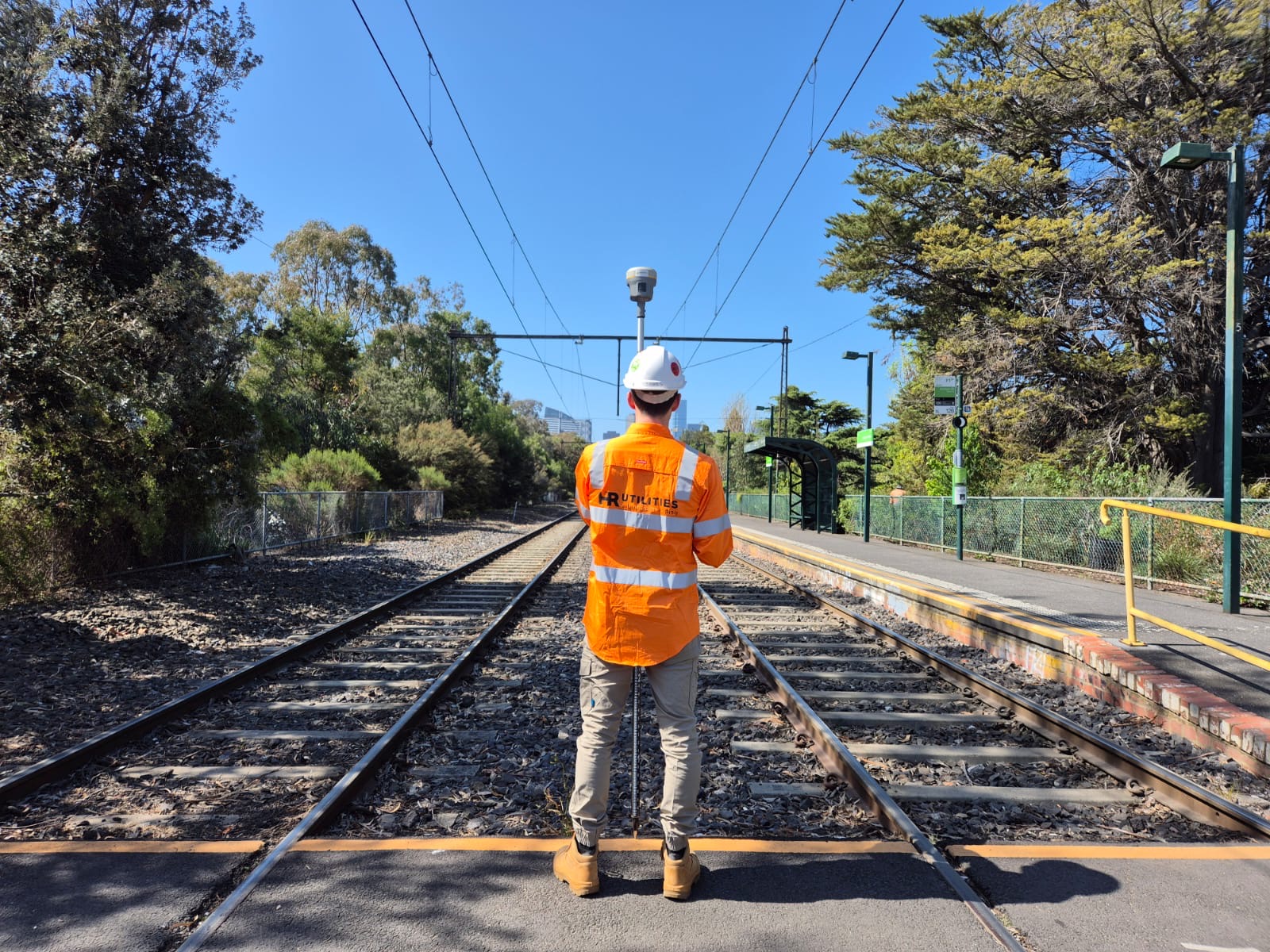
Vacuum excavation and potholing to expose underground utilities at selected crossings and clash points before excavation or design decisions.
Non-destructive digging — commonly called potholing, daylighting, or vacuum excavation — uses water or compressed air to loosen soil, then removes it by vacuum. It reduces the need for direct mechanical excavation around the target service.
Hydro excavation uses water; air excavation uses compressed air. Selection depends on soil, access, the asset owner's requirements, water use, spoil handling and the service being exposed. “Non-destructive” describes the method, not a guarantee that every asset or site is free from risk.
NDD is commonly used after subsurface utility mapping when a project needs physical evidence at a service crossing, design clash or excavation point. For assets that may not appear on BYDA records, see underground services not on plans.
The WorkSafe Victoria and Energy Safe Victoria guide says BYDA and as-installed plans indicate where services should be; they should not be the only exploration before work starts. It describes electronic detection, manual excavation and approved non-destructive methods as parts of positive locating.
Potholing may be used to check a crossing, actual depth or clearance, but the correct method and spacing depend on the asset, work activity, service-owner conditions and site-specific safe system of work. The No-Go Zone guidance should be read with the current asset-owner response.
BYDA's duty-of-care guidance says owner plans show the presence of infrastructure rather than its exact location, and that not all domestic connections are shown. Check all responses, validity dates, permits and owner instructions before relying on the plan set.
Physical exposure supports an AS5488 Quality Level A record when the exposed asset is surveyed and the required evidence is documented. The NDD work and the survey deliverable should be scoped together if the result will be used for design or clash review.
Surface detection and physical exposure answer different questions. EMI or GPR can trace evidence of an alignment; exposure lets the team inspect a specific point. Neither should be stretched beyond the limits recorded in the field report.
Ask for the exact output you need: field marks, photos and measurements, survey pickup, or a coordinated CAD/GIS file. See utility data deliverables and confirm inclusions in the quote.
A typical sequence from records and field locating to a documented exposure. The project scope should state which steps and outputs are included.
Review current records and field evidence to select exposure points that match the work area and project decision.
Review the available records, asset-owner instructions, access, surface, traffic, spoil and site safety requirements before mobilisation.
Remove soil incrementally at the agreed point using the selected hydro or air method and the controls set for the site.
Photograph and measure the exposed service. Survey pickup, backfilling and CAD or GIS output are included only when agreed in the scope.
Confirm operator competency, the selected equipment, asset-owner requirements and the site-specific safe work documents for the activity. Requirements vary with the service, pressure, access and principal-contractor rules.
The scope should also address surface reinstatement, spoil classification and disposal, water access, traffic or pedestrian controls, overhead hazards, nearby services and what happens if the expected asset is not found.
Permissions and notifications are project-specific. Provide the full BYDA response and any permit or asset-owner correspondence so responsibilities can be assigned before work begins, especially around gas or pipeline assets.
Most projects begin with a BYDA referral and a desktop review (QL-D), progress through EMI and GPR detection during subsurface utility mapping or a Melbourne field locate with our underground utility locators (QL-B), then escalate to NDD potholing (QL-A) at the specific locations where design clashes are critical or mechanical excavation is imminent.
Not every asset needs the same investigation. The escalation decision considers the work footprint, the consequence of contact, confidence in the available evidence, the asset owner's conditions and whether a physical measurement is needed at a particular point.
Non-conductive water and sewer pipes and PE gas services without a usable tracer wire may give weak or ambiguous surface-detection evidence. Access, ground conditions and other site evidence determine whether a different locating method or targeted exposure is the sensible next step.
Price depends on the number and location of exposure points, target depth, surface and soil, truck access, water, traffic management, spoil handling, permits, reinstatement and whether survey pickup or reporting is included. Send the work area and plan set for a site-specific quote.
Timing depends on the same site conditions plus service congestion, permit lead times and what is found after opening the surface. Where potholing fits into the wider sequence is covered in our underground service locating guide. Confirm the required evidence before setting exposure points.
Non-destructive digging (NDD), also called vacuum excavation or potholing, removes soil with water or air and a vacuum so a buried service can be exposed at a selected point. It reduces direct mechanical excavation around the target, but the method still needs a site-specific risk assessment and controls.
Hydro excavation loosens soil with water before vacuum removal. Air excavation uses compressed air. Soil, access, asset-owner instructions, water use, spoil handling and the service being exposed all affect method selection.
Physical exposure may be appropriate where a service crossing, depth or clearance must be confirmed. The project team must review current plans, the asset owner's instructions, the work method and Victorian requirements before deciding where and how to expose a service.
Physical exposure is part of obtaining AS5488 Quality Level A information. The resulting classification depends on the investigation and the record produced, including the survey and supporting evidence. Confirm the required quality level and deliverable when requesting a quote.
Provide the site address, work area, available BYDA and site plans, target services or clash points, expected depth, access constraints, surface type, traffic-management needs, spoil requirements and the deliverable needed after exposure.
Expert utility locating services with BYDA certified precision.
Serving projects across Australia with advanced subsurface mapping solutions.